Hatteras House
Hatteras House is all about Hatteras Island and the Outer Banks of North Carolina. Hatteras Island is a barrier island on the Outer Banks. The Outer Banks is world-famous for its beautiful beaches, sand dunes, historical landmarks, lighthouses, tourist attractions, fishing, water sports, vacation destination, and the Cape Hatteras National Seashore. Popular attractions include Fort Raleigh National Historic Site, Wright Brothers National Memorial, Pea Island National Wildlife Refuge, Jockey’s Ridge State Park, and the Corolla Wild Horses. There are also four lighthouses located at the Outer Banks. The Currituck Beach Lighthouse, The Bodie Island Lighthouse, the Cape Hatteras Lighthouse, and the Ocracoke Lighthouse. Three out of the four lighthouses are open to the public for climbing during the summer months.
What are the Outer Banks of NC?

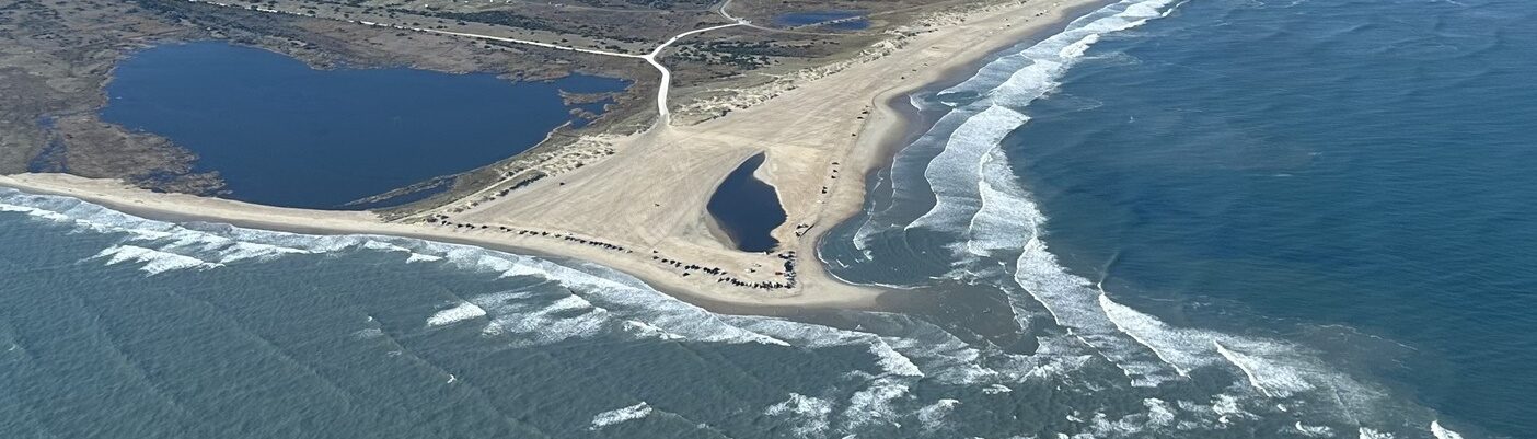
The North Carolina Outer Banks is a 200-mile-long chain of barrier islands that form the eastern portion of the state of North Carolina. The islands of the Outer Banks have the Atlantic Ocean to the east and sound waters to the west. The islands are very narrow in some areas. Some areas are only about 3 miles wide. Highway 12 runs parallel to the Atlantic Ocean. The highway connects many of the barrier islands. It also is sandwiched between the ocean and the Pamlico Sound. Highway 12 is vulnerable to ocean overwash as well as soundside flooding. A ride on Highway 12, on the narrow strip of barrier islands known as the Outer Banks, offers breathtaking scenes of dunes, wildlife, beaches, ocean views, sound waters, sunrises, and sunsets.
Where are the Outer Banks?

The string of barrier islands that make up the Outer Banks starts at the Virginia-NC border. They continue down the coast south to Hatteras Island, then Ocracoke Island. Roanoke Island and Portsmouth Island are also part of the Outer Banks of North Carolina. The islands are located in three different coastal counties: Currituck County, Dare County, and Hyde County.
Hatteras Island
Hatteras Island is located South of Nags Head. Head south on Highway 12 from Nags Head. A trip over the Marc Basnight bridge and you will arrive on Hatteras Island. The Pea Island National Wildlife Refuge is located on the north end of Hatteras Island. The new bridge being built, referred to as the Rodanthe ‘Jug Handle’ Bridge when completed will take traffic past the vulnerable S-curve on Highway 12 near Rodanthe. The tri-villages (Rodanthe, Waves, Salvo) are at the north end of Hatteras Island. The next villages heading south are Avon, Buxton, Frisco, and finally Hatteras Village.
Ocracoke Island
To get to isolated Ocracoke Island you need a ferry or boat ride or a plane ride. The island is located south of Hatteras and north of Cedar Island. To the west of the island is the Pamlico sound. To the east is the island is the Atlantic Ocean. Ocracoke Village is located at the south end of the island. Located in the village are Silver Lake, Ocracoke Lighthouse, and the Ferry Docks for Cedar Island and Swan Quarter. The Hatteras/Ocracoke ferry dock is 13 miles north of Ocracoke Village. Ocracoke may be a small island but there is a lot to do on the island.